WATER

WATER RESOURCES
Water represent an essential resource for the development and for that reason must be preserved due to quantitative and qualitative aspects and also due to it availability.
IDRAN’s multidisciplinary team can provide specialized support for studies related to:
- Sustainable use of water resources
- Equilibrium of basins water balance
- Reduction of water contamination
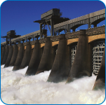
HYDROGEOLOGICAL RISK
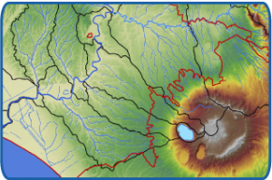
The effect of water and its interaction with structures and infrastructures can determine some hydrogeological risk situations.
Hydrogeological risk events can be multiple: landslides, flooding, coastal erosion, subsidence and avalanches, IDRAN, thanks to it multidisciplinary team offers specialized consulting for an optimize assessment and development of countermeasures for territory preservation. The client is supported in all the phases of the intervention for the mitigation of hydrogeological risk, from the feasibility analysis to the executive phase, and also in the direction of the works
URBAN AND LAND PLANNING
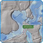 The Hydrogeological Asset Plans are territorial planning tools aimed at managing and reducing the risk of floods and landslides.
The Hydrogeological Asset Plans perimeter and identify qualitatively and quantitatively the elements and areas at risk in order to sustainably manage socio-economic and industrial development activities.
The preparation of The Hydrogeological Asset Plans is based essentially on the geometric characterization of the elements of the territory (Topography), on definition and numerical verification of river basin response to heavy rainfall (Hydrology) and on the evalutation of the effects induced by such hydrological forces in the valley areas of the water courses (Hydraulic/flood) and in the slopes (geomorphology/landslides and debris castings).
IDRAN uses tools and data for topography (e.g. DTM and DSM LIDAR, VAV and Laser Scanner) to hydrological/hydraulic modeling (e.g. commercial and experimental calculation codes for inflow/outflow simulation, 1D and 2D hydrodynamic propagation algorithms) and for GIS mapping of hydraulic and geomorphological risk areas.
WORKS PLANNIG
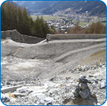 Hydrological, hydrogeological and hydraulic studies play a key role in the engineering design of structural and non-structural interventions for the management of water resources and hydrogeological risk with particular regard to aqueducts, sewers, agricultural, forestry, river and marine water works.
IDRAN supports public and private clients in the different phase of realization, from feasibility to execution and construction management, with particular specialisation of mitigation interventions of the hydrogeological risk.
